Illustrated Maps
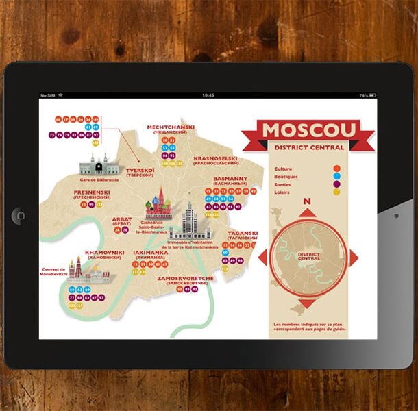
For the past 10 years, L’Atelier Cartographik has specialised in illustrated map design. Whether it be tourist, educational or geographical maps, l’Atelier adapts to each project and each client in order to offer original designs, which are both attractive and informative.
L’Atelier creates illustrated plans and maps on any type of scale:
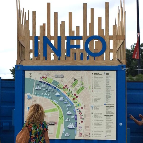
- city maps and traffic maps for cultural events (concerts, exhibitions…)
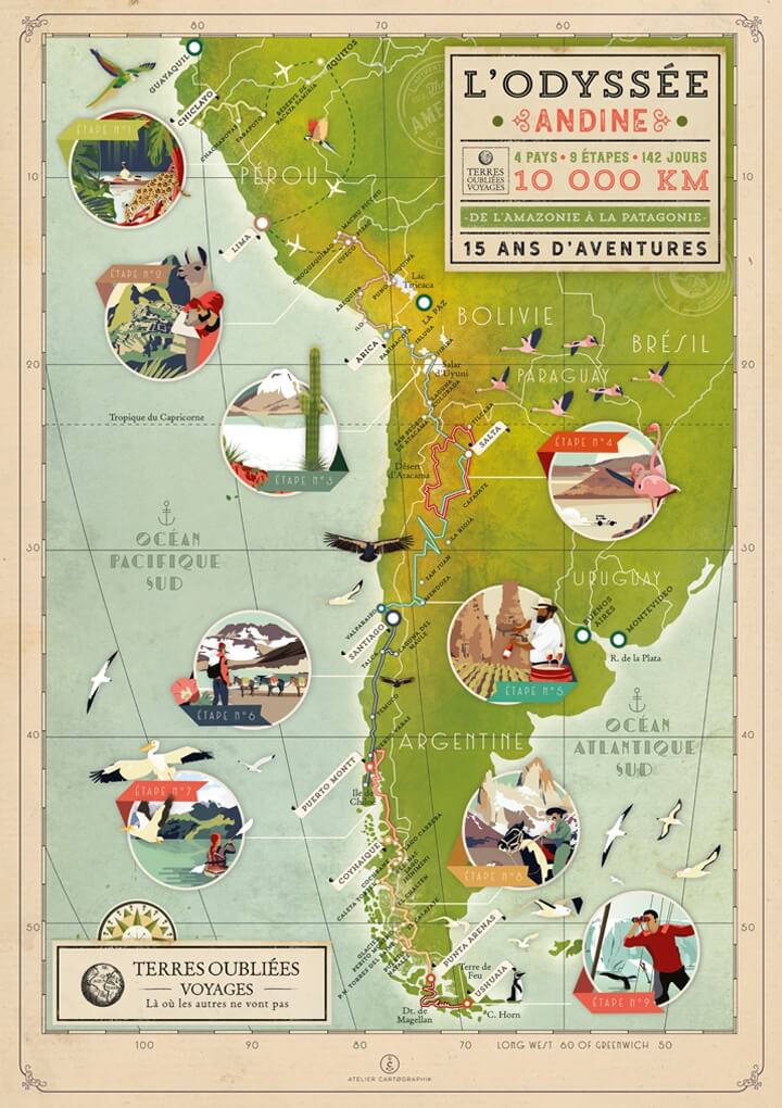
- geographical and tourist maps (trekking and hiking for travel agencies, regional natural parks, heritage and historical monuments etc…..)
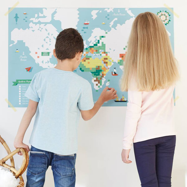
- planispheres, world maps, an even imaginary maps.
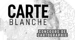
- - Winners of the carte blanche contest organised by the Ministry of Regional Planning, in the category “artist” for “Retro France”.
.
L’Atelier Cartographik est spécialisé depuis 10 ans dans la création de cartes illustrées, Carte touristique, pédagogique, géographique, l’atelier s’adapte à chaque projet et chaque client afin de proposer des créations originales à la fois esthétiques et informatives.
L’Atelier réalise plans et cartes illustrées à tout type d’échelle :
- plans de ville et plan de circulation pour événements culturels (concerts, expositions …)
- cartes géographique et touristique (trek, randonnée pour agence de voyages, parc naturel régional, patrimoine et monuments historiques, etc …)
- planisphères, carte du Monde, mappemondes et même cartes imaginaires.
- Lauréat du concours carte blanche organisé par le ministère de l’Aménagement du territoire, en catégorie «artiste» pour « La France dans le rétro ».
Selected Clients